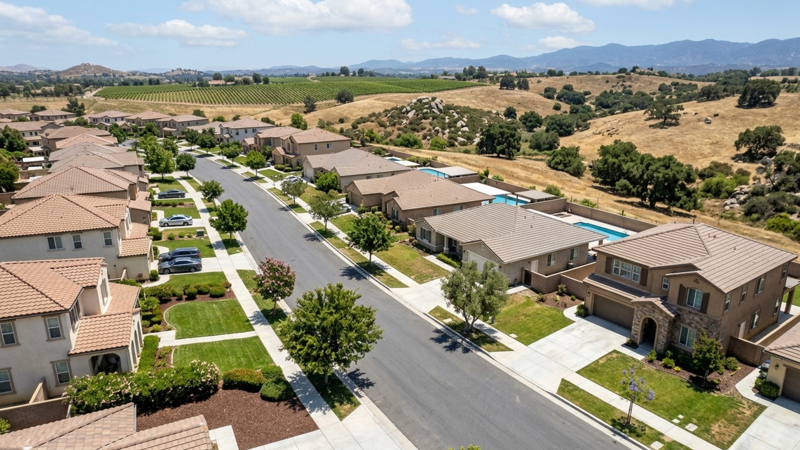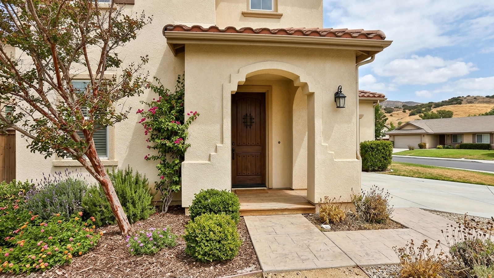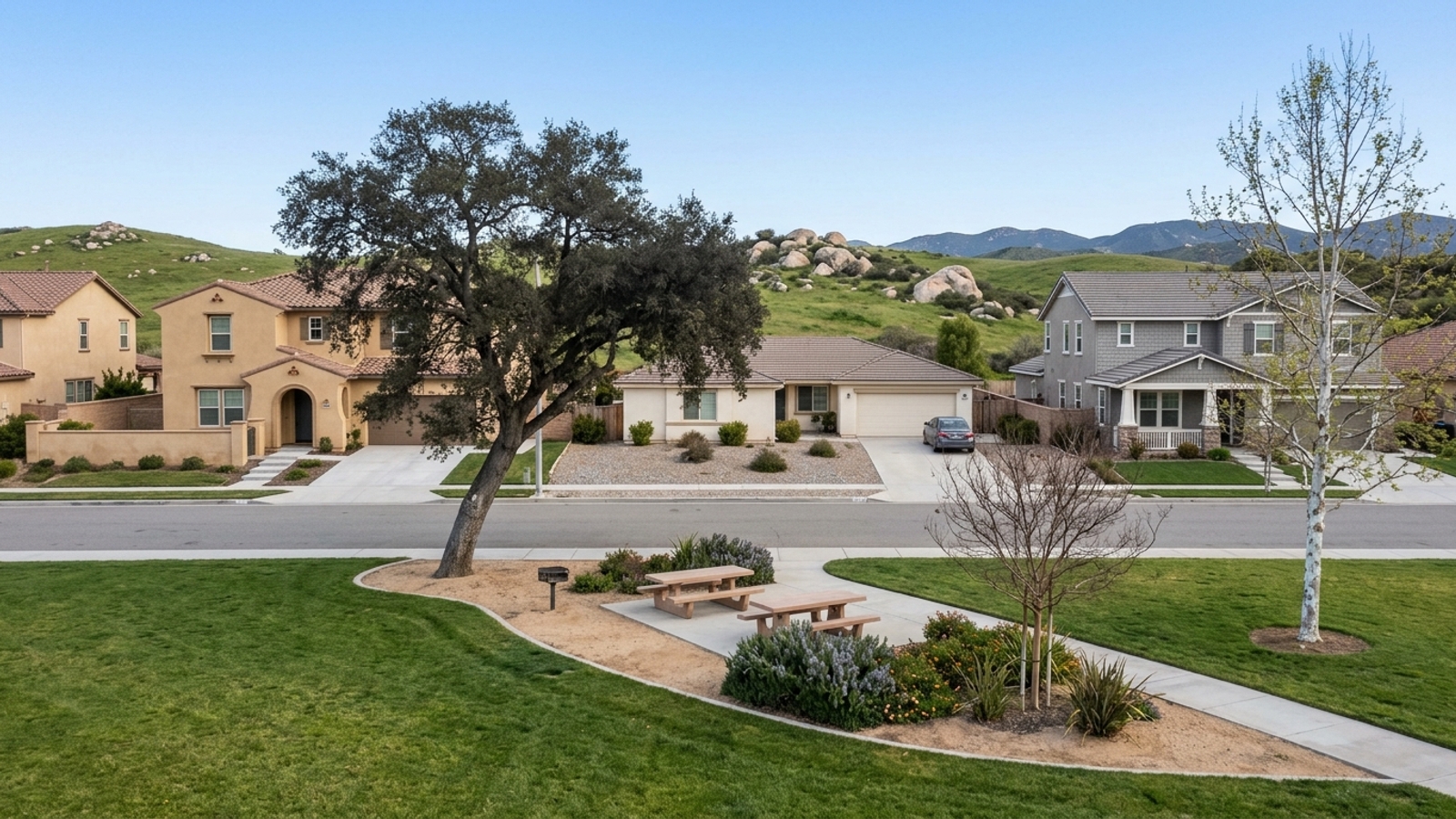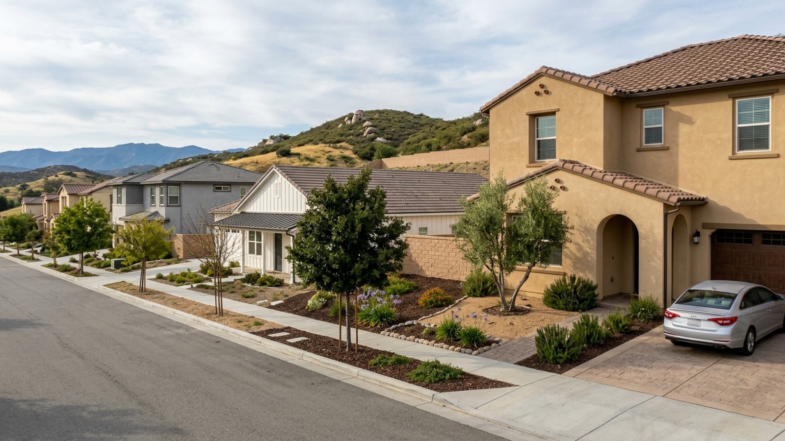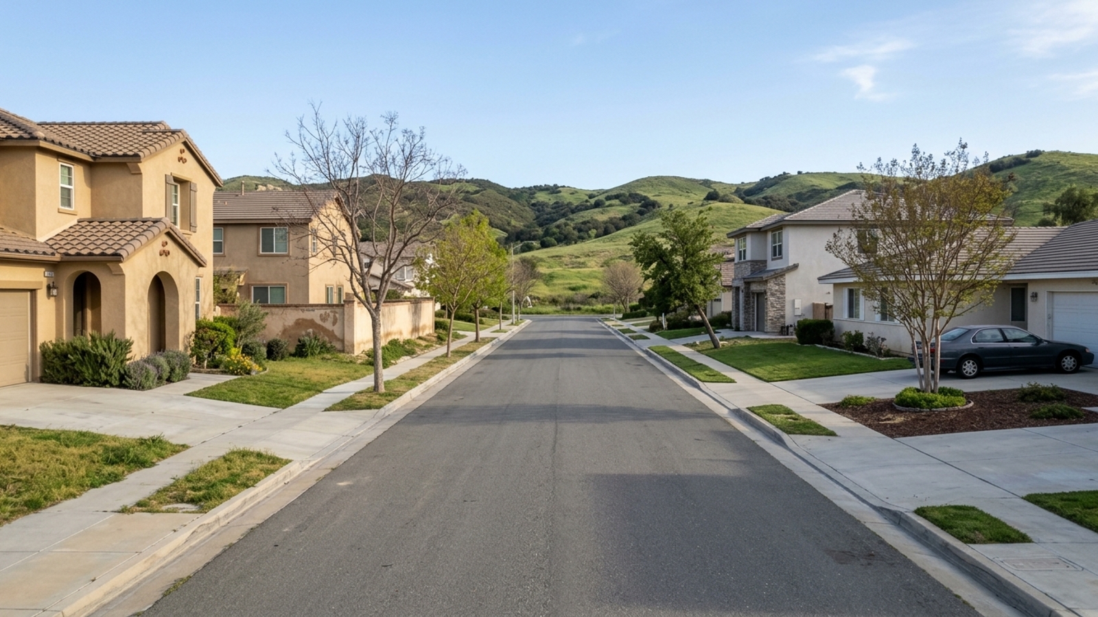
Temecula is a city in southwest Riverside County, Southern California, sitting on Interstate 15 just north of the San Diego County line. It marks the southern gateway to the Inland Empire.
Key takeaway
Temecula is in southwest Riverside County, on I-15 just north of the San Diego County line. It works well if your regular trips run south toward San Diego County or north toward the Inland Empire. What the location delivers is a detached house, which accounts for nearly every sale. Condos are an option at a lower price, but they cost about the same per square foot as houses, so you’re buying less space rather than getting a discount.
Who this guide is for
You’re working out whether Temecula’s position on the I-15 corridor between San Diego and Riverside counties fits your commute, travel and budget before you start touring homes.
Where is Temecula, CA located?
Temecula is often assumed to be in San Diego County, but it sits entirely within Riverside County. The I-15 and I-215 junction, where traffic splits north toward Moreno Valley, sits just above Temecula in neighboring Murrieta.
Towns and areas around Temecula
A listing marketed as being in Temecula might sit in Murrieta, on unincorporated county land, or across the line in San Diego County. The town or county sets your property taxes, school district and local services.
Murrieta
Murrieta borders Temecula to the north, and the two read as one continuous stretch of I-15 suburbs. They’re separate cities with their own local governments. Confirm which city an address is in before comparing prices and commutes across listings.
French Valley and wine country
French Valley lies northeast of the city. Vineyard and rural parcels stretch east along the wine country corridor. Much of both sits in unincorporated Riverside County rather than inside Temecula city limits. The wine country community plan covers about 19,200 acres with about 50 wineries and smaller wine operations, making this the place for buyers who want acreage or vineyard surroundings.
County land means county rules, and rural parcels may rely on a private well rather than a water district. Ask how the property gets its water, because city water and a private well carry different maintenance.
Fallbrook and the San Diego County line
Head south on I-15 and you cross into San Diego County toward Fallbrook and Rainbow within a few miles. Confirm the county on any listing near the line before comparing costs.
How far is Temecula from San Diego, Los Angeles and airports?
San Diego
Interstate 15 runs south to San Diego, approximately 58 miles. A non-peak drive takes about 57 to 60 minutes. Weekday rush hours back up, particularly where the freeway narrows near the I-15/I-215 junction. Drive your route at rush hour before committing.
Orange County and Los Angeles
Northbound and westbound options are I-15 to State Route 91, or the Ortega Highway (CA-74) over the mountains toward the coast. Both reach Orange County and Los Angeles, but they’re realistic for occasional trips, not daily commutes. The Ortega Highway is a winding two-lane mountain road. If Orange County is a regular destination, test both routes at the hours you’d drive them.
Airports
San Diego International Airport is the nearest major commercial airport, about 60 miles away via I-15 South. The closest airport is French Valley Airport, a general aviation facility owned by Riverside County with no commercial flights. Frequent flyers should settle which airport they’d use, because that changes which freeway, and which side of Temecula, matters most when buying.
What Temecula’s location means for buying a home
Housing here tilts toward suburban neighborhoods of detached houses on larger lots, because distance from the coastal cities gave developers room to build them.
Single-family homes
Houses dominate the market, with a median sale price of $748,702. Prices barely moved in a year, up 0.5%. With 3.5 months of supply, you have time to tour homes, test commutes and negotiate on condition.
Flat prices also mean you shouldn’t count on fast appreciation to cover a stretch purchase. Parts of the region sit in fire hazard severity zones, so check the CAL FIRE map, get insurance quotes early and review seller disclosures before your contingency period ends.
Condos and townhomes
Condos are a thin slice of the market: 13 recent sales, 26 active listings and 6 months of supply. A condo costs about as much per square foot as a house ($358 versus $354), so the lower $479,951 median reflects a smaller home, not a bargain price.
With so few sales, these numbers can swing on a few transactions. Ask the HOA for current dues and what they cover before comparing a condo to a house, since those fees add directly to your carrying costs.
At a glance
- All homes, 90 days ending 2026-09-30: median sale price $735,900, up 0.8% year over year
- All homes, 90 days ending 2026-09-30: 318 homes sold, 386 for sale, 3.7 months of supply
- All homes, 90 days ending 2026-09-30: 45 median days on market, 99.7% sale-to-list, 28.1% sold above list
- Single family, 90 days ending 2026-09-30: median sale price $748,702, median $354 per sq ft
- Single family, 90 days ending 2026-09-30: 298 sold, 336 for sale, 3.5 months of supply
- Single family, 90 days ending 2026-09-30: 44 median days on market, 99.6% sale-to-list, 29% sold above list
- Condo, 90 days ending 2026-09-30 (based on only 13 sales, treat with caution): median sale price $479,951, down 17.2% year over year, median $358 per sq ft
- Condo, 90 days ending 2026-09-30 (based on only 13 sales, treat with caution): 26 for sale, 6 months of supply, 54 median days on market, 100.1% sale-to-list, 15.4% sold above list
How to decide if Temecula’s location works for you
Start with direction. If your regular trips run south toward San Diego County, the San Diego drive and the county-line areas matter most. If they run north toward Riverside, Orange County or Los Angeles, weigh the Murrieta side and the northbound routes. If you fly often, the airports section explains why your airport choice decides which side of town suits you.
Next, choose between city services inside Temecula’s limits and vineyard or rural parcels on unincorporated county land, where water and county rules differ. Then decide whether you need a detached house or whether a smaller condo works. Condos give you more negotiating room, but not the per-foot discount covered above.
Before an offer, ask whether the property sits in a Community Facilities District with an annual Mello-Roos assessment. If you need help mapping out drive times for specific addresses, Josh Painter at Impact Real Estate can pull the data for your commute.
Temecula, CA location FAQs
How far is Temecula, CA from the beach?
The nearest beach, in Oceanside, is about 30 miles away via State Route 76. The drive takes roughly 36 to 44 minutes depending on traffic.
What is Temecula known for?
Temecula is known for its historic Old Town district and the Temecula Valley Wine Country, the unincorporated vineyard area east of the city.
What ZIP codes are in Temecula, CA?
Temecula has five USPS ZIP codes: 92590, 92591 and 92592 for standard delivery, and 92589 and 92593 for PO boxes. A Temecula mailing address doesn’t always mean the home is inside city limits.
How big is Temecula, California?
The city boundary covers about 28 square miles, per the City’s General Plan. The California Department of Finance estimated the population at 112,220 as of January 1, 2025.
Is Temecula an incorporated city?
Yes. Temecula was incorporated as a General Law City on December 1, 1989.
What is the sales tax rate in Temecula, CA?
The combined rate is 8.75% as of 2026. That is the 7.25% statewide base, 0.25% for Riverside County and 1.00% for the City of Temecula, plus district taxes. Confirm the current rate with the California Department of Tax and Fee Administration.
Where does Temecula get its water?
It depends on the address. Rancho California Water District serves the city and some unincorporated areas, and Eastern Municipal Water District also counts Temecula among its retail-customer cities.
Sources
- Redfin: Data Center
- City of Temecula: General Plan
- California Department of Finance: E-1 2025 Press Release
- City of Temecula: Interstate 15 Traffic Crisis
- Travelmath: Drive Distance from SAN to Temecula
- Riverside County: French Valley Airport MND
- ZIP-Codes.com: Temecula, CA
- San Diego Regional Water Board: Wine Country
- Riverside County Economic Development: Unincorporated Properties
- CDTFA: Tax Rates by County and City
- Rancho California Water District: Service Area